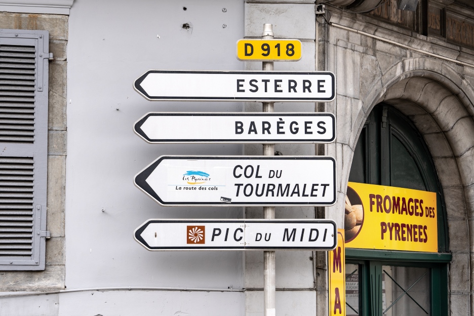
This summer, the Tourmalet will challenge riders in three grand tours: the Tour de France, the Tour de France Femmes avec Zwift, and the Vuelta a España. The perfect time to explore the mountain’s 110-year-long cycling legacy, its secrets, and how to make it to the top.
Climbing Considerations
The Tourmalet towers over the Pyrenees as one of the highest paved mountain passes. Here’s what you need to know to tackle one of professional cycling’s most challenging climbs.
When going up the Tourmalet, there are two ascents to consider: East and West. In the Tour de France, climbs generally start at Sainte-Marie-de-Campan, which is the eastern side. Expect gentle fields and farmland houses to begin with.
Soon enough, you’ll be surrounded by trees as the gradient will increase to around 8%. Mind the breath and find a comfortable cadence. Switch to the right gear, not too light, but certainly not too heavy – it’s good for morale to stay a few clicks from the lightest, giving you something to fall back on.
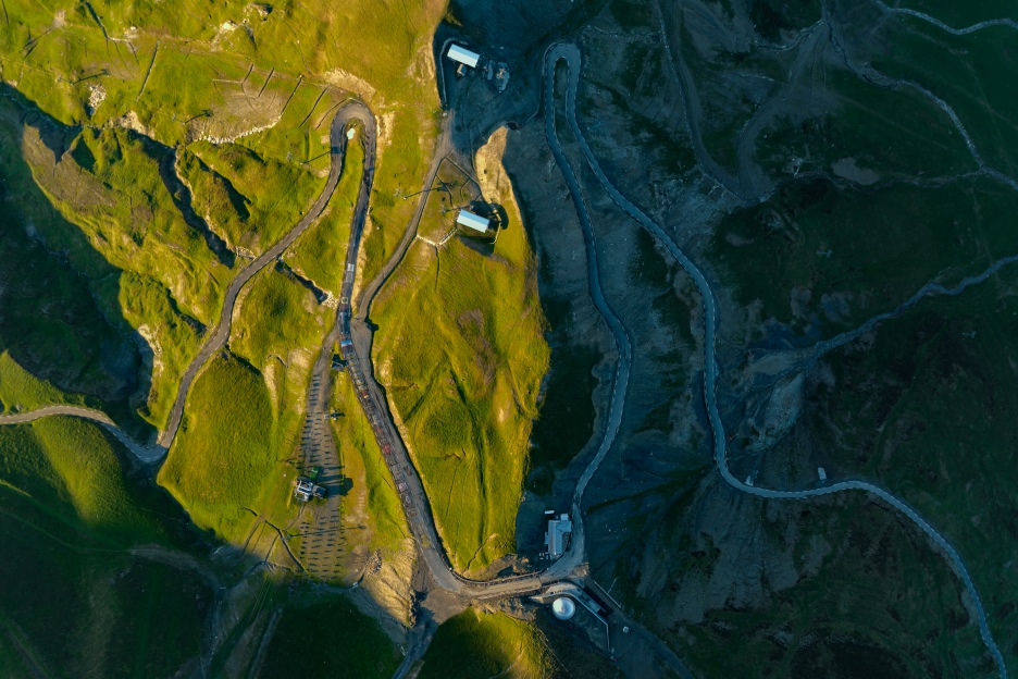
Through open-sided avalanche tunnels, the road will take you to the ski resort of La Mongie at 1,800 meters, with its hulking chalets and a gradient that briefly tips into the double digits. As you get closer to the 2,115-meter col, the air will get thinner, yet the top will remain hidden for most of the final ascent.
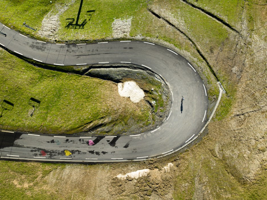
Pro tip: You’ll be able to recognize the end of the ride by a snake-like switchback leading to the col, signified by the Giant of the Tourmalet, a three-meter-tall metal statue based on the 1910 trailblazer Octave Lapize. The rider is straining out of the saddle, sucking in the air.
If you’ve reached the top but are still looking for more, there’s a route to the Pic du Midi, which is 750 meters higher, although the unpaved roads will require a decent gravel bike to get you there.
Working on the Tourmalet
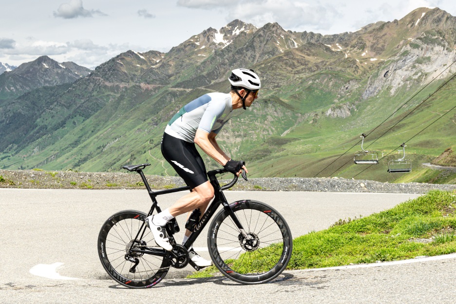
Daniel Hughes, Sony Photographic Ambassador, walks us through the professional side of the climb. ‘The Tourmalet makes you feel enclosed,’ he says. ‘If there are going to be attacks here, there’s the psychological element of being unable to see the person ahead of you. That’s an important and demoralizing thing.’
Hughes rides with the added weight of a camera bag. We’re happy to report that he prefers his 12-speed DURA-ACE Di2 groupset, which gets him up the steep sections without too much trouble. He has an 11x34 cassette and a 52x36 chainring, giving him plenty of freedom and comfort, whether in the mountains or the flats.
Want to find out which Shimano groupset will get you to the top? Explore our premium options and Find Your Fast.
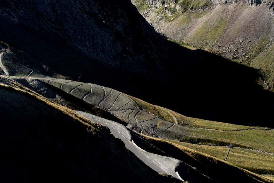
The western ascent starts with a false flat valley road cut into the rock before arriving at the mountain’s foot in Luz-Saint-Sauveur. From there, you’ll encounter a straight upward climb of 7%, with 19 kilometers of uphill battling ahead.
Seven kilometers in, the ski lifts at Barèges signal a shift in scenery. Walls of rock rear up, and the landscape turns to grassland, with cows occasionally straying onto the road. That’s where the corners begin.
This western side doesn’t get sunny until early in the afternoon. The weather changes fast in these parts, and sunshine can quickly be replaced by hail and lousy visibility.
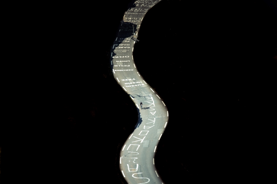
The gradient pitches up to 10% around the rock face. On the penultimate corner, you’ll find the road dangling and almost disappearing off the mountain, urging riders to round the corner.
But the Tourmalet saves its nastiest gradients for the last few hundred meters. With heavier climbing and additional kilometers, the western ascent must be called the tougher climb.

Beyond the statue, the majestic view from the top has remained the same for centuries. Hughes tells us: ‘From there, you’ve got a 360-degree panorama. You can see both valleys and at least 50 kilometers into the distance on a clear day.’
La Vuelta Goes West
With the Spanish border a mere 30 kilometers away, the 2023 Vuelta a España was naturally interested in adopting the Tourmalet into their schedule. It will be stage 13 when the Tourmalet’s western side is the final act of a short, sharp route that includes the Aubisque, the Soulor and the Col de Spandelles.
The western ascent starts with a false flat valley road cut into the rock before arriving at the mountain’s foot in Luz-Saint-Sauveur. From there, you’ll encounter a straight upward climb of 7%, with 19 kilometers of uphill battling ahead.
Seven kilometers in, the ski lifts at Barèges signal a shift in scenery. Walls of rock rear up, and the landscape turns to grassland, with cows occasionally straying onto the road. That’s where the corners begin.
This western side doesn’t get sunny until early in the afternoon. The weather changes fast in these parts, and sunshine can quickly be replaced by hail and lousy visibility.
